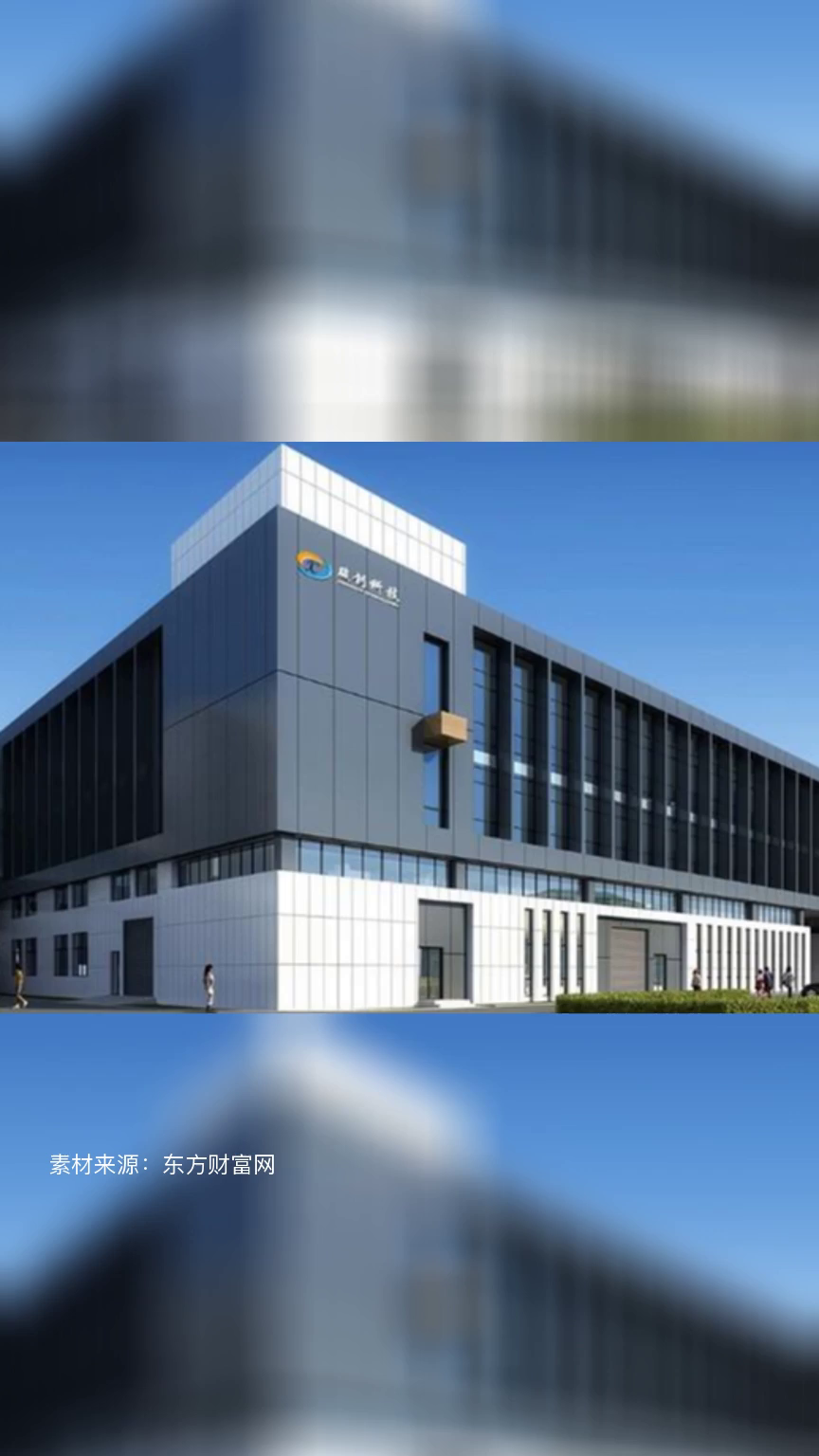
2026-06-27 12:48

![]()
First Eye TV - Hualong Network News (Reporter Liang Haonan) Recently, Chongqing Banan conducted an emergency drill for sudden landslide geological disasters. The drill simulated a landslide in Shengdengshan Town caused by continuous heavy rainfall, resulting in the collapse of a brick and concrete residential building and the loss of two people. The entire process tested the ability to respond to warnings, command and dispatch, and digital collaborative rescue.
After receiving the report, the emergency management bureau of the district immediately generated an emergency event through the "Intelligent Rescue" system, retrieved emergency eagle eye images and real-time rainfall data, quickly activated the fourth level emergency response for geological disasters, and synchronously established the front and rear command centers.
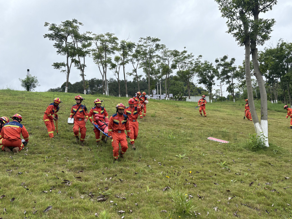
The advance rescue team from Shengdengshan Town arrived at the scene with new equipment such as smart helmets and TS2000 image transmission devices. They evacuated 10 people from 3 households in the surrounding area in the first time, set up a warning area, and transmitted accurate positioning information of the trapped personnel through the "Chongqing Kuaizheng" platform.
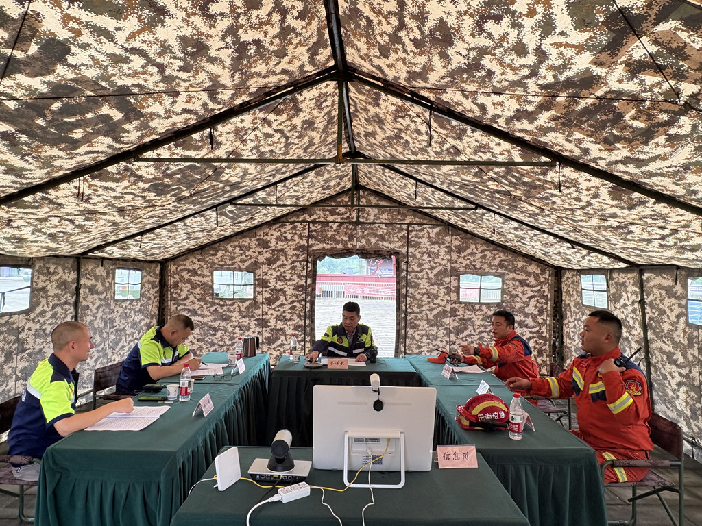
Subsequently, 25 members of the district level professional rescue team rushed to the scene with more than 30 sets of professional equipment, including radar life detectors, hydraulic dismantling tools, and drones. They quickly set up an on-site command center and achieved interconnection with the rear centralized display and control system, building a flat command chain that integrates front and rear.
During the rescue process, the drone quickly produces a 720 degree panoramic view of the scene, and the intelligent helmet and control ball transmit high-definition images in real-time from multiple angles, providing visual support for command and decision-making. According to expert analysis, the landslide has temporarily stabilized, and a scientific rescue plan has been developed on site, which includes precise positioning with life detectors, combination of manual excavation and support, and dynamic monitoring throughout the entire process.
Rescue personnel used radar life detectors to quickly locate the trapped individuals. After a tense and orderly rescue operation, two trapped people were successfully rescued one after another. After emergency medical treatment on site, they were quickly transferred to the hospital for treatment.
Subsequently, the rescue team evacuated in an orderly manner. After experts confirmed that the risk had been eliminated, the command center terminated the emergency response and arranged for local towns and streets to be left behind for observation. The "smart rescue" system automatically generated a left behind plan and recorded it in the drill log, achieving full process digital tracking. The Municipal Emergency Management Bureau provided online observation and guidance throughout the drill through a video conferencing system.
The relevant person in charge of the Emergency Management Bureau of Banan District stated that this drill highlights digital empowerment, relying on the "Intelligent Rescue" system and the "Chongqing Quick Government" platform to achieve real-time sharing and collaborative plotting of disaster information. Through TS2000 image transmission, ball deployment, unmanned aerial vehicle images, and video conferencing system, the front and rear sides can achieve on-site situation visualization and immediate command issuance, and each link is closely and efficiently connected, effectively honing the practical ability of geological disaster emergency rescue in the whole district.